 vesseltracker.com
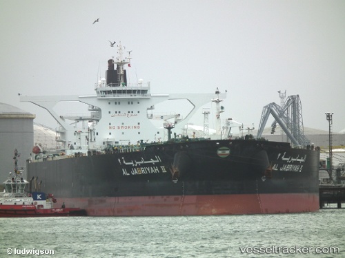
Vessel Al Jabriyah Ii IMO: 9329708, MMSI: 447163000 Crude Oil Tanker
UTC, -21.55904, -39.60184, course: 248, speed: 11.7
UTC, -21.68471, -39.89648, course: 252, speed: 12.1
2026-02-15 12:10:58 UTC, -21.81031, -40.29765, course: 254, speed: 10.6
Live AIS position:
UTC. 39 nm E of Açu Pt/São João da Barra),
updated 2026-02-15 12:10:58 UTC.
Find the position of the vessel Al Jabriyah Ii on the map. The latter are known coordinates and path.
marine traffic ship tracker show on live map
The current position of vessel Al Jabriyah Ii is -21.81031 lat / -40.29765 lng. Updated: 2026-02-15 12:10:58 UTCDetails:
Last coordinates of the vessel:
UTC, -21.62294, -39.24210, course: 308, speed: 11.8UTC, -21.55904, -39.60184, course: 248, speed: 11.7
UTC, -21.68471, -39.89648, course: 252, speed: 12.1
2026-02-15 12:10:58 UTC, -21.81031, -40.29765, course: 254, speed: 10.6