 vesseltracker.com
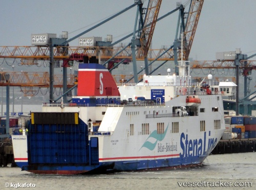
Vessel '219029263' IMO: 9329849, MMSI: 219029263
UTC, 58.93802, 17.98040, course: 152, speed: 0
UTC, 58.93802, 17.98040, course: 152, speed: 0
2026-02-01 19:24:32 UTC, 58.80812, 18.12691, course: 135, speed: 16.4
Live AIS position:
UTC. Near NYNASHAMN),
updated 2026-02-01 19:24:32 UTC.
Find the position of the vessel '219029263' on the map. The latter are known coordinates and path.
marine traffic ship tracker show on live map
The current position of vessel '219029263' is 58.80812 lat / 18.12691 lng. Updated: 2026-02-01 19:24:32 UTCDetails:
Last coordinates of the vessel:
UTC, 58.93806, 17.98033, course: 152, speed: 0UTC, 58.93802, 17.98040, course: 152, speed: 0
UTC, 58.93802, 17.98040, course: 152, speed: 0
2026-02-01 19:24:32 UTC, 58.80812, 18.12691, course: 135, speed: 16.4