 vesseltracker.com
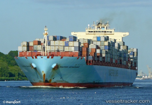
Vessel LUANDA EXPRESS IMO: 9330070, MMSI: 636092986 Container Ship
UTC, -26.75333, 43.93833, course: -1, speed: 14
UTC, -26.93614, 43.51904, course: 245, speed: 14.8
2026-02-28 02:40:12 UTC, -27.06004, 43.22200, course: 247, speed: 14.8
Live AIS position:
UTC. 161 nm SW of Tsiombe),
updated 2026-02-28 02:40:12 UTC.
Find the position of the vessel LUANDA EXPRESS on the map. The latter are known coordinates and path.
marine traffic ship tracker show on live map
The current position of vessel LUANDA EXPRESS is -27.06004 lat / 43.22200 lng. Updated: 2026-02-28 02:40:12 UTCCurrently sailing under the flag of Liberia
LUANDA EXPRESS built in 2007 year
Deadweight:
108447 tDetails:
Last coordinates of the vessel:
UTC, -26.48667, 44.52667, course: -1, speed: 13UTC, -26.75333, 43.93833, course: -1, speed: 14
UTC, -26.93614, 43.51904, course: 245, speed: 14.8
2026-02-28 02:40:12 UTC, -27.06004, 43.22200, course: 247, speed: 14.8