 vesseltracker.com
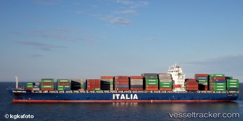
Vessel '538009437' IMO: 9330496, MMSI: 538009437
UTC, 18.39477, -69.59931, course: 324, speed: 4.9
UTC, 18.42185, -69.62980, course: 348, speed: 0
2026-02-13 11:56:46 UTC, 18.42186, -69.62982, course: 348, speed: 0.1
Live AIS position:
UTC. Near Caucedo),
updated 2026-02-13 11:56:46 UTC.
Find the position of the vessel '538009437' on the map. The latter are known coordinates and path.
marine traffic ship tracker show on live map
The current position of vessel '538009437' is 18.42186 lat / -69.62982 lng. Updated: 2026-02-13 11:56:46 UTCDetails:
Last coordinates of the vessel:
UTC, 18.23438, -69.44890, course: 304, speed: 11UTC, 18.39477, -69.59931, course: 324, speed: 4.9
UTC, 18.42185, -69.62980, course: 348, speed: 0
2026-02-13 11:56:46 UTC, 18.42186, -69.62982, course: 348, speed: 0.1