 vesseltracker.com
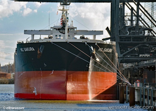
Vessel ANEMOS IMO: 9331529, MMSI: 538009676 Bulk Carrier
UTC, 36.95308, 2.52062, course: 85, speed: 13.3
UTC, 37.01378, 2.98833, course: 81, speed: 12.2
2026-02-26 13:26:49 UTC, 37.08217, 3.30350, course: 88, speed: 12.3
Live AIS position:
UTC. 18 nm N of Ain Taya),
updated 2026-02-26 13:26:49 UTC.
Find the position of the vessel ANEMOS on the map. The latter are known coordinates and path.
marine traffic ship tracker show on live map
The current position of vessel ANEMOS is 37.08217 lat / 3.30350 lng. Updated: 2026-02-26 13:26:49 UTCCurrently sailing under the flag of Marshall Islands
ANEMOS built in 2006 year
Deadweight:
75397 tDetails:
Last coordinates of the vessel:
UTC, 36.88030, 1.89937, course: 77, speed: 12.3UTC, 36.95308, 2.52062, course: 85, speed: 13.3
UTC, 37.01378, 2.98833, course: 81, speed: 12.2
2026-02-26 13:26:49 UTC, 37.08217, 3.30350, course: 88, speed: 12.3