 vesseltracker.com
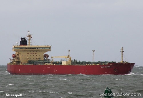
Vessel CHRYSTAL SKY IMO: 9334569, MMSI: 538004215 Oil Products Tanker
UTC, 36.07002, 19.29320, course: 270, speed: 13.1
UTC, 36.07733, 18.88680, course: 268, speed: 12.9
2026-01-20 05:14:51 UTC, 36.08362, 18.43892, course: 271, speed: 13.1
Live AIS position:
UTC. 92 nm E of Ryuo),
updated 2026-01-20 05:14:51 UTC.
Find the position of the vessel CHRYSTAL SKY on the map. The latter are known coordinates and path.
marine traffic ship tracker show on live map
The current position of vessel CHRYSTAL SKY is 36.08362 lat / 18.43892 lng. Updated: 2026-01-20 05:14:51 UTCCurrently sailing under the flag of Marshall Is
CHRYSTAL SKY built in 0 year
Deadweight:
0 tDetails:
Last coordinates of the vessel:
UTC, 36.05348, 19.88632, course: 268, speed: 12.4UTC, 36.07002, 19.29320, course: 270, speed: 13.1
UTC, 36.07733, 18.88680, course: 268, speed: 12.9
2026-01-20 05:14:51 UTC, 36.08362, 18.43892, course: 271, speed: 13.1