 vesseltracker.com
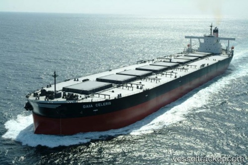
Vessel 636020520 IMO: 9335848, MMSI: 636020520
UTC, 2.33970, 89.12736, course: 235, speed: 13.5
UTC, 2.33970, 89.12736, course: 235, speed: 13.5
2026-02-01 19:56:32 UTC, 2.33970, 89.12736, course: 235, speed: 13.5
Live AIS position:
UTC. 304 nm SE of Abakaliki),
updated 2026-02-01 19:56:32 UTC.
Find the position of the vessel 636020520 on the map. The latter are known coordinates and path.
marine traffic ship tracker show on live map
The current position of vessel 636020520 is 2.33970 lat / 89.12736 lng. Updated: 2026-02-01 19:56:32 UTCDetails:
Last coordinates of the vessel:
UTC, 2.84551, 89.88826, course: 236, speed: 13.1UTC, 2.33970, 89.12736, course: 235, speed: 13.5
UTC, 2.33970, 89.12736, course: 235, speed: 13.5
2026-02-01 19:56:32 UTC, 2.33970, 89.12736, course: 235, speed: 13.5