 vesseltracker.com
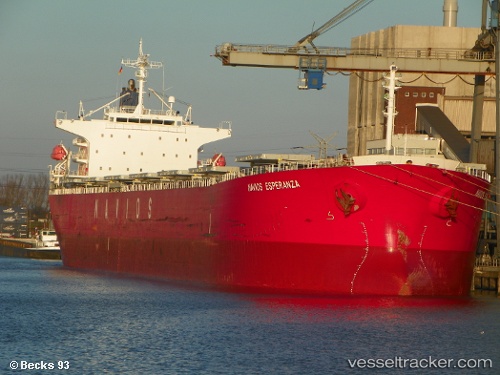
Vessel Lady I IMO: 9336610, MMSI: 538006527 Bulk Carrier
UTC, 27.11660, -15.72027, course: 27, speed: 11
UTC, 27.36477, -15.57147, course: 26, speed: 10.9
2026-02-25 06:29:02 UTC, 27.80606, -15.33746, course: 20, speed: 11.2
Live AIS position:
UTC. Near ARINAGA),
updated 2026-02-25 06:29:02 UTC.
Find the position of the vessel Lady I on the map. The latter are known coordinates and path.
marine traffic ship tracker show on live map
The current position of vessel Lady I is 27.80606 lat / -15.33746 lng. Updated: 2026-02-25 06:29:02 UTCDetails:
Last coordinates of the vessel:
UTC, 26.72344, -15.98843, course: 33, speed: 11.6UTC, 27.11660, -15.72027, course: 27, speed: 11
UTC, 27.36477, -15.57147, course: 26, speed: 10.9
2026-02-25 06:29:02 UTC, 27.80606, -15.33746, course: 20, speed: 11.2