 vesseltracker.com
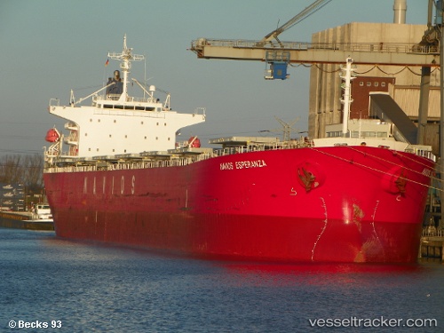
Vessel Lady I IMO: 9336610, MMSI: 538006527 Bulk Carrier
UTC, 13.50560, -24.23877, course: 38, speed: 11.6
UTC, 13.83750, -23.92872, course: 33, speed: 11
2026-02-21 17:39:07 UTC, 14.07761, -23.72885, course: 35, speed: 11.3
Live AIS position:
UTC. 51 nm S of Praia),
updated 2026-02-21 17:39:07 UTC.
Find the position of the vessel Lady I on the map. The latter are known coordinates and path.
marine traffic ship tracker show on live map
The current position of vessel Lady I is 14.07761 lat / -23.72885 lng. Updated: 2026-02-21 17:39:07 UTCDetails:
Last coordinates of the vessel:
UTC, 13.27282, -24.45592, course: 43, speed: 11.6UTC, 13.50560, -24.23877, course: 38, speed: 11.6
UTC, 13.83750, -23.92872, course: 33, speed: 11
2026-02-21 17:39:07 UTC, 14.07761, -23.72885, course: 35, speed: 11.3