 vesseltracker.com
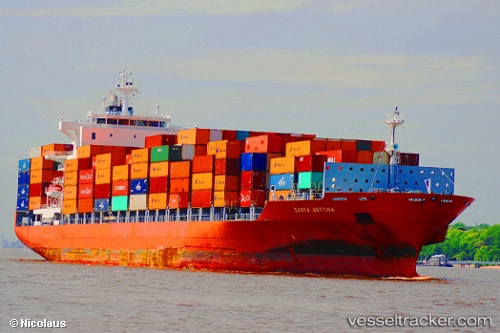
Vessel MATSON MOLOKAI IMO: 9338084, MMSI: 636021005 Container Ship
UTC, 25.36114, 54.62011, course: 69, speed: 12
UTC, 25.05291, 55.01230, course: 134, speed: 14.2
2026-02-26 07:44:13 UTC, 24.99629, 55.04889, course: 159, speed: 0
Live AIS position:
UTC. Near Jebel Ali Free Zone),
updated 2026-02-26 07:44:13 UTC.
Find the position of the vessel MATSON MOLOKAI on the map. The latter are known coordinates and path.
marine traffic ship tracker show on live map
The current position of vessel MATSON MOLOKAI is 24.99629 lat / 55.04889 lng. Updated: 2026-02-26 07:44:13 UTCCurrently sailing under the flag of Liberia
MATSON MOLOKAI built in 2007 year
Deadweight:
39276 tDetails:
Last coordinates of the vessel:
UTC, 25.35107, 54.40261, course: 127, speed: 12.8UTC, 25.36114, 54.62011, course: 69, speed: 12
UTC, 25.05291, 55.01230, course: 134, speed: 14.2
2026-02-26 07:44:13 UTC, 24.99629, 55.04889, course: 159, speed: 0