 vesseltracker.com
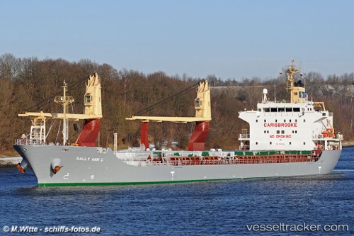
Vessel SIDER BILBAO IMO: 9338151, MMSI: 255806432 General Cargo Ship
UTC, 49.63125, -0.64724, course: 240, speed: 0.1
UTC, 49.63324, -0.64852, course: 197, speed: 0.3
2026-01-29 20:15:16 UTC, 49.63356, -0.65180, course: 135, speed: 0.1
Live AIS position:
UTC. 17 nm W of Saint-Martin-du-Manoir),
updated 2026-01-29 20:15:16 UTC.
Find the position of the vessel SIDER BILBAO on the map. The latter are known coordinates and path.
marine traffic ship tracker show on live map
The current position of vessel SIDER BILBAO is 49.63356 lat / -0.65180 lng. Updated: 2026-01-29 20:15:16 UTCCurrently sailing under the flag of Portugal (MAR)
SIDER BILBAO built in 2007 year
Deadweight:
14184 tDetails:
Last coordinates of the vessel:
UTC, 49.63264, -0.64781, course: 216, speed: 0.3UTC, 49.63125, -0.64724, course: 240, speed: 0.1
UTC, 49.63324, -0.64852, course: 197, speed: 0.3
2026-01-29 20:15:16 UTC, 49.63356, -0.65180, course: 135, speed: 0.1