 vesseltracker.com
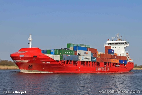
Vessel Hai Su 7 IMO: 9339014, MMSI: 413703960 Container Ship
UTC, 35.25025, 121.23117, course: 330, speed: 11.4
UTC, 35.25025, 121.23117, course: 330, speed: 11.4
2026-01-19 19:49:21 UTC, 35.25025, 121.23117, course: 330, speed: 11.4
Live AIS position:
UTC. 66 nm SE of Xianlang),
updated 2026-01-19 19:49:21 UTC.
Find the position of the vessel Hai Su 7 on the map. The latter are known coordinates and path.
marine traffic ship tracker show on live map
The current position of vessel Hai Su 7 is 35.25025 lat / 121.23117 lng. Updated: 2026-01-19 19:49:21 UTCDetails:
Last coordinates of the vessel:
UTC, 35.06617, 121.39390, course: 330, speed: 11UTC, 35.25025, 121.23117, course: 330, speed: 11.4
UTC, 35.25025, 121.23117, course: 330, speed: 11.4
2026-01-19 19:49:21 UTC, 35.25025, 121.23117, course: 330, speed: 11.4