 vesseltracker.com
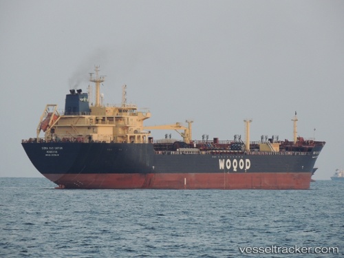
Vessel SIDRA AL RUWAIS IMO: 9339648, MMSI: 466011000 Oil/Chemical Tanker
UTC, 27.44499, 51.45178, course: 117, speed: 11.5
UTC, 27.56288, 52.49535, course: -1, speed: 0
2026-02-28 13:39:06 UTC, 27.56281, 52.49534, course: 144, speed: 0
Live AIS position:
UTC. Near ASALUYEH),
updated 2026-02-28 13:39:06 UTC.
Find the position of the vessel SIDRA AL RUWAIS on the map. The latter are known coordinates and path.
marine traffic ship tracker show on live map
The current position of vessel SIDRA AL RUWAIS is 27.56281 lat / 52.49534 lng. Updated: 2026-02-28 13:39:06 UTCCurrently sailing under the flag of Qatar
Details:
Last coordinates of the vessel:
UTC, 27.44499, 51.45178, course: 117, speed: 11.5UTC, 27.44499, 51.45178, course: 117, speed: 11.5
UTC, 27.56288, 52.49535, course: -1, speed: 0
2026-02-28 13:39:06 UTC, 27.56281, 52.49534, course: 144, speed: 0