 vesseltracker.com
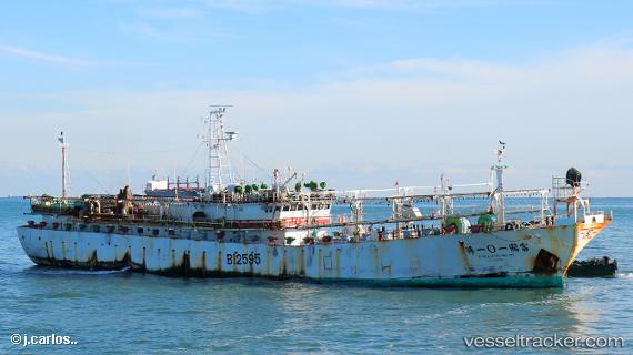
Vessel Full Kuo No.101 IMO: 9340283, MMSI: 416180600 Fishing Vessel
UTC, -50.29867, -61.06347, course: -1, speed: 0.6
UTC, -50.28850, -61.04690, course: -1, speed: 0.3
2026-02-26 04:23:44 UTC, -50.28782, -61.05876, course: -1, speed: 0.4
Live AIS position:
UTC. 107 nm NW of Port San Carlos),
updated 2026-02-26 04:23:44 UTC.
Find the position of the vessel Full Kuo No.101 on the map. The latter are known coordinates and path.
marine traffic ship tracker show on live map
The current position of vessel Full Kuo No.101 is -50.28782 lat / -61.05876 lng. Updated: 2026-02-26 04:23:44 UTCDetails:
Last coordinates of the vessel:
UTC, -50.30884, -61.09909, course: -1, speed: 0.4UTC, -50.29867, -61.06347, course: -1, speed: 0.6
UTC, -50.28850, -61.04690, course: -1, speed: 0.3
2026-02-26 04:23:44 UTC, -50.28782, -61.05876, course: -1, speed: 0.4