 vesseltracker.com
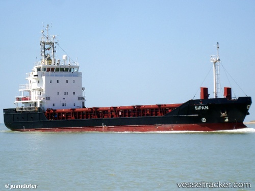
Vessel RANGITATA IMO: 9340740, MMSI: 512467000 General Cargo
UTC, -44.42014, 171.35722, course: 137, speed: 0
UTC, -44.42009, 171.35715, course: 128, speed: 0
2026-02-24 01:28:21 UTC, -44.42014, 171.35703, course: 130, speed: 0
Live AIS position:
UTC. Near Timaru),
updated 2026-02-24 01:28:21 UTC.
Find the position of the vessel RANGITATA on the map. The latter are known coordinates and path.
marine traffic ship tracker show on live map
The current position of vessel RANGITATA is -44.42014 lat / 171.35703 lng. Updated: 2026-02-24 01:28:21 UTCCurrently sailing under the flag of New Zealand
Details:
Last coordinates of the vessel:
UTC, -44.41993, 171.35754, course: 156, speed: 0.1UTC, -44.42014, 171.35722, course: 137, speed: 0
UTC, -44.42009, 171.35715, course: 128, speed: 0
2026-02-24 01:28:21 UTC, -44.42014, 171.35703, course: 130, speed: 0