 vesseltracker.com
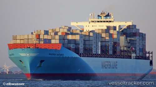
Vessel Maersk Antares IMO: 9342504, MMSI: 565661000 Container Ship
UTC, 16.20543, -149.33897, course: 260, speed: 14.1
UTC, 16.20543, -149.33897, course: 260, speed: 14.1
2026-02-21 03:50:44 UTC, 16.08517, -149.92705, course: 260, speed: 14.2
Live AIS position:
UTC. 346 nm NW of Santa Rita),
updated 2026-02-21 03:50:44 UTC.
Find the position of the vessel Maersk Antares on the map. The latter are known coordinates and path.
marine traffic ship tracker show on live map
The current position of vessel Maersk Antares is 16.08517 lat / -149.92705 lng. Updated: 2026-02-21 03:50:44 UTCDetails:
Last coordinates of the vessel:
UTC, 16.29292, -148.85426, course: 262, speed: 14UTC, 16.20543, -149.33897, course: 260, speed: 14.1
UTC, 16.20543, -149.33897, course: 260, speed: 14.1
2026-02-21 03:50:44 UTC, 16.08517, -149.92705, course: 260, speed: 14.2