 vesseltracker.com
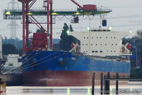
Vessel 636020614 IMO: 9342853, MMSI: 636020614
UTC, 1.52502, 119.27152, course: 5, speed: 10.6
UTC, 1.92390, 119.31077, course: 3, speed: 9.9
2026-02-19 21:17:37 UTC, 2.10285, 119.33132, course: 8, speed: 10.2
Live AIS position:
UTC. 72 nm E of Muara Pantai),
updated 2026-02-19 21:17:37 UTC.
Find the position of the vessel 636020614 on the map. The latter are known coordinates and path.
marine traffic ship tracker show on live map
The current position of vessel 636020614 is 2.10285 lat / 119.33132 lng. Updated: 2026-02-19 21:17:37 UTCDetails:
Last coordinates of the vessel:
UTC, 1.03330, 119.18070, course: 29, speed: 10.9UTC, 1.52502, 119.27152, course: 5, speed: 10.6
UTC, 1.92390, 119.31077, course: 3, speed: 9.9
2026-02-19 21:17:37 UTC, 2.10285, 119.33132, course: 8, speed: 10.2