 vesseltracker.com
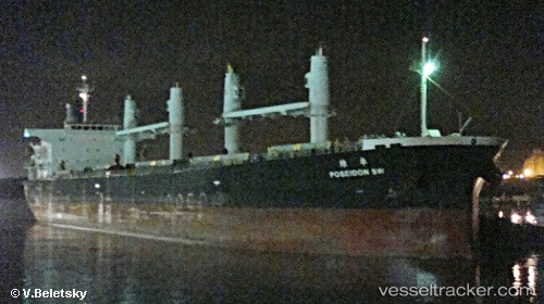
Vessel Captainyannis L IMO: 9343546, MMSI: 538007864 Bulk Carrier
UTC, 5.10333, 86.64167, course: -1, speed: 11
UTC, 5.12167, 86.46833, course: -1, speed: 11
2026-02-18 03:30:01 UTC, 5.17167, 86.05833, course: -1, speed: 11
Live AIS position:
UTC. 70 nm S of Abakaliki),
updated 2026-02-18 03:30:01 UTC.
Find the position of the vessel Captainyannis L on the map. The latter are known coordinates and path.
marine traffic ship tracker show on live map
The current position of vessel Captainyannis L is 5.17167 lat / 86.05833 lng. Updated: 2026-02-18 03:30:01 UTCDetails:
Last coordinates of the vessel:
UTC, 5.03333, 87.22500, course: -1, speed: 11UTC, 5.10333, 86.64167, course: -1, speed: 11
UTC, 5.12167, 86.46833, course: -1, speed: 11
2026-02-18 03:30:01 UTC, 5.17167, 86.05833, course: -1, speed: 11