 vesseltracker.com
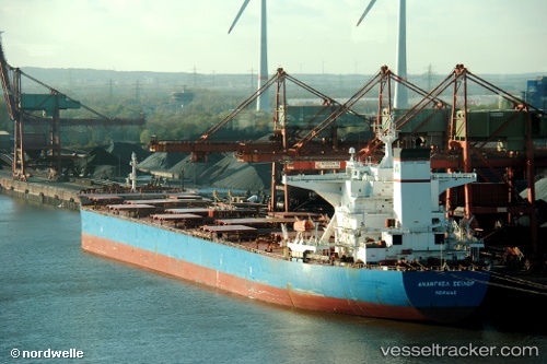
Vessel LILA LESVOS IMO: 9345764, MMSI: 636025206 Bulk Carrier
UTC, -29.14823, 40.11952, course: 246, speed: 10.6
UTC, -29.37697, 39.65477, course: 244, speed: 9.9
2026-03-01 08:29:02 UTC, -29.55985, 39.24120, course: 252, speed: 9.9
Live AIS position:
UTC. 375 nm E of Richards Bay),
updated 2026-03-01 08:29:02 UTC.
Find the position of the vessel LILA LESVOS on the map. The latter are known coordinates and path.
marine traffic ship tracker show on live map
The current position of vessel LILA LESVOS is -29.55985 lat / 39.24120 lng. Updated: 2026-03-01 08:29:02 UTCCurrently sailing under the flag of Liberia
Details:
Last coordinates of the vessel:
UTC, -29.08655, 40.25815, course: 246, speed: 11UTC, -29.14823, 40.11952, course: 246, speed: 10.6
UTC, -29.37697, 39.65477, course: 244, speed: 9.9
2026-03-01 08:29:02 UTC, -29.55985, 39.24120, course: 252, speed: 9.9