 vesseltracker.com
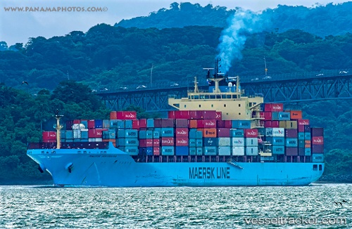
Vessel Maersk Innoshima IMO: 9348170, MMSI: 566779000 Container Ship
UTC, -29.83667, 170.63333, course: -1, speed: 16
UTC, -29.49642, 170.34029, course: 324, speed: 17.6
2026-02-21 07:39:12 UTC, -29.06462, 169.98610, course: 325, speed: 18.1
Live AIS position:
UTC. 327 nm SW of Makeni),
updated 2026-02-21 07:39:12 UTC.
Find the position of the vessel Maersk Innoshima on the map. The latter are known coordinates and path.
marine traffic ship tracker show on live map
The current position of vessel Maersk Innoshima is -29.06462 lat / 169.98610 lng. Updated: 2026-02-21 07:39:12 UTCDetails:
Last coordinates of the vessel:
UTC, -30.31799, 171.00732, course: 326, speed: 16.4UTC, -29.83667, 170.63333, course: -1, speed: 16
UTC, -29.49642, 170.34029, course: 324, speed: 17.6
2026-02-21 07:39:12 UTC, -29.06462, 169.98610, course: 325, speed: 18.1