 vesseltracker.com
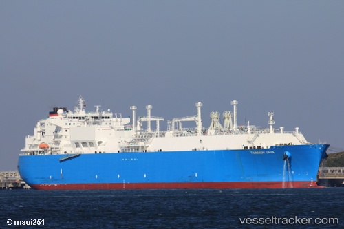
Vessel Tangguh Jaya IMO: 9349019, MMSI: 370502000 Lng Tanker
UTC, 31.79333, 127.63167, course: -1, speed: 15
UTC, 32.13404, 127.58290, course: 181, speed: 15.6
2026-02-01 03:11:46 UTC, 31.91356, 127.57627, course: 181, speed: 15.6
Live AIS position:
UTC. 94 nm SW of Ulju-gun/Ulsan),
updated 2026-02-01 03:11:46 UTC.
Find the position of the vessel Tangguh Jaya on the map. The latter are known coordinates and path.
marine traffic ship tracker show on live map
The current position of vessel Tangguh Jaya is 31.91356 lat / 127.57627 lng. Updated: 2026-02-01 03:11:46 UTCDetails:
Last coordinates of the vessel:
UTC, 31.36793, 127.56297, course: 8, speed: 14.7UTC, 31.79333, 127.63167, course: -1, speed: 15
UTC, 32.13404, 127.58290, course: 181, speed: 15.6
2026-02-01 03:11:46 UTC, 31.91356, 127.57627, course: 181, speed: 15.6