 vesseltracker.com
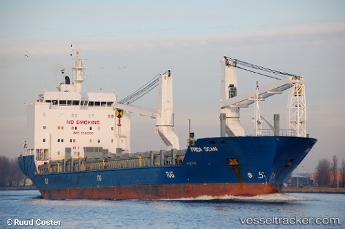
Vessel LADY D IMO: 9349289, MMSI: 273293160 General Cargo Ship
UTC, 48.02616, -6.48647, course: 213, speed: 10.9
UTC, 47.68888, -6.74758, course: 207, speed: 11.4
2026-02-21 00:08:36 UTC, 47.33925, -7.00664, course: 205, speed: 10.2
Live AIS position:
UTC. 69 nm S of San Clodio),
updated 2026-02-21 00:08:36 UTC.
Find the position of the vessel LADY D on the map. The latter are known coordinates and path.
marine traffic ship tracker show on live map
The current position of vessel LADY D is 47.33925 lat / -7.00664 lng. Updated: 2026-02-21 00:08:36 UTCCurrently sailing under the flag of Russia
LADY D built in 2006 year
Deadweight:
12717 tDetails:
Last coordinates of the vessel:
UTC, 48.31500, -6.25167, course: -1, speed: 9UTC, 48.02616, -6.48647, course: 213, speed: 10.9
UTC, 47.68888, -6.74758, course: 207, speed: 11.4
2026-02-21 00:08:36 UTC, 47.33925, -7.00664, course: 205, speed: 10.2