 vesseltracker.com
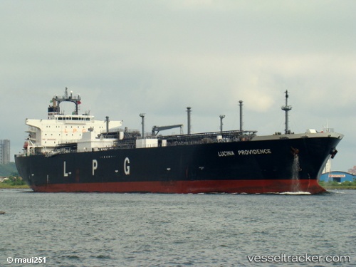
Vessel Lucina Providence IMO: 9349784, MMSI: 370914000 Lpg Tanker
UTC, 28.20167, -92.87667, course: -1, speed: 10
UTC, 27.87667, -92.60167, course: -1, speed: 10
2026-02-25 12:13:33 UTC, 27.53667, -92.34333, course: -1, speed: 11
Live AIS position:
UTC. 81 nm W of Gulfmex Lightering Area),
updated 2026-02-25 12:13:33 UTC.
Find the position of the vessel Lucina Providence on the map. The latter are known coordinates and path.
marine traffic ship tracker show on live map
The current position of vessel Lucina Providence is 27.53667 lat / -92.34333 lng. Updated: 2026-02-25 12:13:33 UTCDetails:
Last coordinates of the vessel:
UTC, 28.48244, -93.09916, course: 140, speed: 10.4UTC, 28.20167, -92.87667, course: -1, speed: 10
UTC, 27.87667, -92.60167, course: -1, speed: 10
2026-02-25 12:13:33 UTC, 27.53667, -92.34333, course: -1, speed: 11