 vesseltracker.com
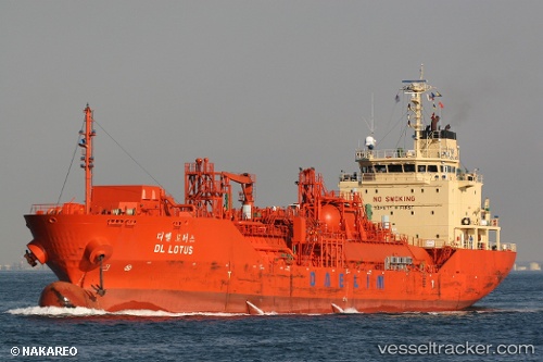
Vessel DL LOTUS IMO: 9353979, MMSI: 636021775 LPG Tanker
UTC, 33.85773, 131.19415, course: 121, speed: 12
UTC, 33.78230, 131.59650, course: 102, speed: 13.1
2026-01-19 01:39:08 UTC, 33.51912, 131.85617, course: 155, speed: 13.4
Live AIS position:
UTC. 13 nm NE of Kitsuki),
updated 2026-01-19 01:39:08 UTC.
Find the position of the vessel DL LOTUS on the map. The latter are known coordinates and path.
marine traffic ship tracker show on live map
The current position of vessel DL LOTUS is 33.51912 lat / 131.85617 lng. Updated: 2026-01-19 01:39:08 UTCCurrently sailing under the flag of Liberia
DL LOTUS built in 2008 year
Deadweight:
6775 tDetails:
Last coordinates of the vessel:
UTC, 33.90473, 131.11508, course: 125, speed: 12.1UTC, 33.85773, 131.19415, course: 121, speed: 12
UTC, 33.78230, 131.59650, course: 102, speed: 13.1
2026-01-19 01:39:08 UTC, 33.51912, 131.85617, course: 155, speed: 13.4