 vesseltracker.com
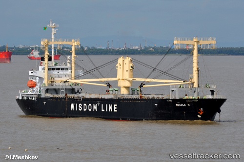
Vessel Beagle Ii IMO: 9354583, MMSI: 372291000 Multi Purpose Carrier
UTC, 38.15357, -10.01548, course: 196, speed: 6.2
UTC, 37.94380, -10.04401, course: 172, speed: 7.9
2026-02-05 14:09:33 UTC, 37.67218, -9.95163, course: 179, speed: 6.8
Live AIS position:
UTC. 27 nm SE of Los Ramos),
updated 2026-02-05 14:09:33 UTC.
Find the position of the vessel Beagle Ii on the map. The latter are known coordinates and path.
marine traffic ship tracker show on live map
The current position of vessel Beagle Ii is 37.67218 lat / -9.95163 lng. Updated: 2026-02-05 14:09:33 UTCDetails:
Last coordinates of the vessel:
UTC, 38.31090, -10.00079, course: 196, speed: 5.6UTC, 38.15357, -10.01548, course: 196, speed: 6.2
UTC, 37.94380, -10.04401, course: 172, speed: 7.9
2026-02-05 14:09:33 UTC, 37.67218, -9.95163, course: 179, speed: 6.8