 vesseltracker.com
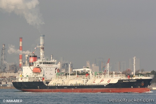
Vessel Gas Alice IMO: 9355290, MMSI: 209137000 Lpg Tanker
UTC, 35.92833, -11.88667, course: -1, speed: 9
UTC, 36.14450, -11.55687, course: 47, speed: 9.6
2026-02-27 00:11:44 UTC, 36.38333, -11.21833, course: -1, speed: 9
Live AIS position:
UTC. 105 nm SW of Los Ramos),
updated 2026-02-27 00:11:44 UTC.
Find the position of the vessel Gas Alice on the map. The latter are known coordinates and path.
marine traffic ship tracker show on live map
The current position of vessel Gas Alice is 36.38333 lat / -11.21833 lng. Updated: 2026-02-27 00:11:44 UTCCurrently sailing under the flag of Cyprus
Details:
Last coordinates of the vessel:
UTC, 35.79833, -12.07667, course: -1, speed: 8UTC, 35.92833, -11.88667, course: -1, speed: 9
UTC, 36.14450, -11.55687, course: 47, speed: 9.6
2026-02-27 00:11:44 UTC, 36.38333, -11.21833, course: -1, speed: 9