 vesseltracker.com
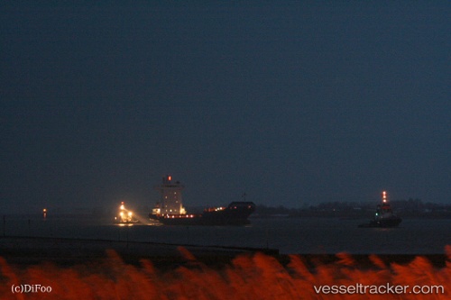
Vessel Pavo J IMO: 9355458, MMSI: 305055000 Container Ship
UTC, 52.94759, -5.89527, course: 176, speed: 9.3
UTC, 52.63600, -5.94603, course: 197, speed: 9.1
2026-01-31 09:50:17 UTC, 52.30112, -6.06724, course: 204, speed: 9.1
Live AIS position:
UTC. 13 nm SE of Blackwater),
updated 2026-01-31 09:50:17 UTC.
Find the position of the vessel Pavo J on the map. The latter are known coordinates and path.
marine traffic ship tracker show on live map
The current position of vessel Pavo J is 52.30112 lat / -6.06724 lng. Updated: 2026-01-31 09:50:17 UTCCurrently sailing under the flag of Antigua Barbuda
Pavo J built in 2007 year
Deadweight:
11180 tDetails:
Last coordinates of the vessel:
UTC, 53.23138, -5.99303, course: 160, speed: 8.8UTC, 52.94759, -5.89527, course: 176, speed: 9.3
UTC, 52.63600, -5.94603, course: 197, speed: 9.1
2026-01-31 09:50:17 UTC, 52.30112, -6.06724, course: 204, speed: 9.1