 vesseltracker.com
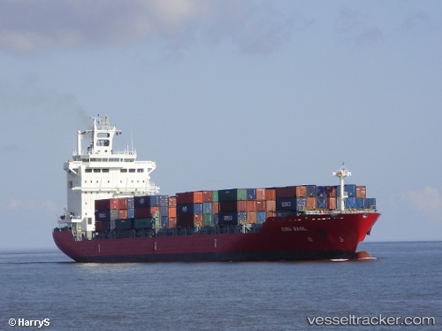
Vessel Ef Emma IMO: 9357808, MMSI: 255806209 Container Ship
UTC, 3.95667, 52.51500, course: -1, speed: 15
UTC, 3.70500, 52.37333, course: -1, speed: 15
2026-02-12 20:14:37 UTC, 3.08105, 52.01496, course: 204, speed: 15
Live AIS position:
UTC. 353 nm SE of Gaalkacyo),
updated 2026-02-12 20:14:37 UTC.
Find the position of the vessel Ef Emma on the map. The latter are known coordinates and path.
marine traffic ship tracker show on live map
The current position of vessel Ef Emma is 3.08105 lat / 52.01496 lng. Updated: 2026-02-12 20:14:37 UTCDetails:
Last coordinates of the vessel:
UTC, 4.55167, 52.84667, course: -1, speed: 15UTC, 3.95667, 52.51500, course: -1, speed: 15
UTC, 3.70500, 52.37333, course: -1, speed: 15
2026-02-12 20:14:37 UTC, 3.08105, 52.01496, course: 204, speed: 15