 vesseltracker.com
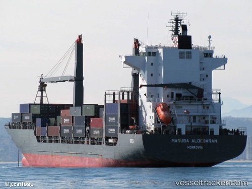
Vessel '563125500' IMO: 9357858, MMSI: 563125500
UTC, 14.41221, 109.35324, course: 353, speed: 11.3
UTC, 14.77167, 109.27500, course: -1, speed: 12
2026-01-28 06:23:51 UTC, 15.29333, 109.22500, course: -1, speed: 13
Live AIS position:
UTC. 22 nm E of Dung Quat Petroleum Port),
updated 2026-01-28 06:23:51 UTC.
Find the position of the vessel '563125500' on the map. The latter are known coordinates and path.
marine traffic ship tracker show on live map
The current position of vessel '563125500' is 15.29333 lat / 109.22500 lng. Updated: 2026-01-28 06:23:51 UTCDetails:
Last coordinates of the vessel:
UTC, 14.01881, 109.45379, course: 343, speed: 11.3UTC, 14.41221, 109.35324, course: 353, speed: 11.3
UTC, 14.77167, 109.27500, course: -1, speed: 12
2026-01-28 06:23:51 UTC, 15.29333, 109.22500, course: -1, speed: 13