 vesseltracker.com
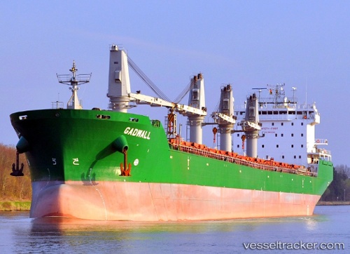
Vessel Maria G IMO: 9358369, MMSI: 248203000 Bulk Carrier
UTC, 39.35531, 22.93763, course: 347, speed: 0
UTC, 39.35532, 22.93764, course: 347, speed: 0
2026-02-14 17:24:59 UTC, 39.35530, 22.93764, course: 347, speed: 0
Live AIS position:
UTC. Near Volos),
updated 2026-02-14 17:24:59 UTC.
Find the position of the vessel Maria G on the map. The latter are known coordinates and path.
marine traffic ship tracker show on live map
The current position of vessel Maria G is 39.35530 lat / 22.93764 lng. Updated: 2026-02-14 17:24:59 UTCCurrently sailing under the flag of Malta
Maria G built in 2007 year
Deadweight:
37249 tDetails:
Last coordinates of the vessel:
UTC, 39.35532, 22.93761, course: 347, speed: 0UTC, 39.35531, 22.93763, course: 347, speed: 0
UTC, 39.35532, 22.93764, course: 347, speed: 0
2026-02-14 17:24:59 UTC, 39.35530, 22.93764, course: 347, speed: 0