 vesseltracker.com
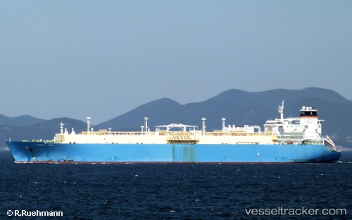
Vessel Tangguh Sago IMO: 9361990, MMSI: 308741000 Lng Tanker
UTC, 3.14280, 124.51001, course: 182, speed: 11.3
UTC, 3.09667, 124.25167, course: -1, speed: 9
2026-02-10 17:22:27 UTC, 3.28000, 124.16833, course: -1, speed: 8
Live AIS position:
UTC. 114 nm NW of Lapangan),
updated 2026-02-10 17:22:27 UTC.
Find the position of the vessel Tangguh Sago on the map. The latter are known coordinates and path.
marine traffic ship tracker show on live map
The current position of vessel Tangguh Sago is 3.28000 lat / 124.16833 lng. Updated: 2026-02-10 17:22:27 UTCDetails:
Last coordinates of the vessel:
UTC, 3.50167, 124.50833, course: -1, speed: 11UTC, 3.14280, 124.51001, course: 182, speed: 11.3
UTC, 3.09667, 124.25167, course: -1, speed: 9
2026-02-10 17:22:27 UTC, 3.28000, 124.16833, course: -1, speed: 8