 vesseltracker.com
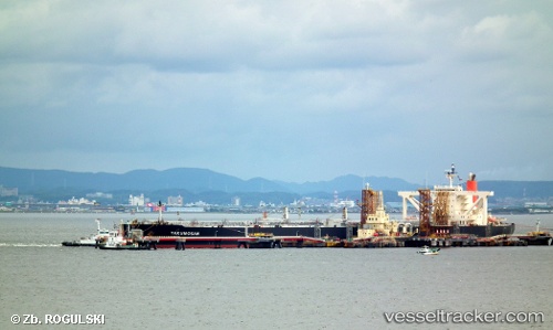
Vessel Yakumosan IMO: 9362877, MMSI: 538003428 Crude Oil Tanker
UTC, 13.04151, 113.40680, course: 220, speed: 13
UTC, 12.71574, 113.11252, course: 216, speed: 12.9
2026-02-12 09:17:13 UTC, 12.56269, 112.98120, course: 216, speed: 12.9
Live AIS position:
UTC. 198 nm E of Tan Cang Qui Nhon),
updated 2026-02-12 09:17:13 UTC.
Find the position of the vessel Yakumosan on the map. The latter are known coordinates and path.
marine traffic ship tracker show on live map
The current position of vessel Yakumosan is 12.56269 lat / 112.98120 lng. Updated: 2026-02-12 09:17:13 UTCCurrently sailing under the flag of Marshall Is
Yakumosan built in 2008 year
Deadweight:
302165 tDetails:
Last coordinates of the vessel:
UTC, 13.49500, 113.77667, course: -1, speed: 12UTC, 13.04151, 113.40680, course: 220, speed: 13
UTC, 12.71574, 113.11252, course: 216, speed: 12.9
2026-02-12 09:17:13 UTC, 12.56269, 112.98120, course: 216, speed: 12.9