 vesseltracker.com
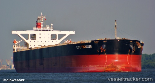
Vessel Imperial Frontier IMO: 9364320, MMSI: 353351000 Bulk Carrier
UTC, 2.43597, 90.34512, course: 230, speed: 12.7
UTC, 2.04398, 89.84215, course: 229, speed: 13.3
2026-02-08 12:08:20 UTC, 1.75857, 89.47523, course: 227, speed: 13.4
Live AIS position:
UTC. 345 nm SE of Abakaliki),
updated 2026-02-08 12:08:20 UTC.
Find the position of the vessel Imperial Frontier on the map. The latter are known coordinates and path.
marine traffic ship tracker show on live map
The current position of vessel Imperial Frontier is 1.75857 lat / 89.47523 lng. Updated: 2026-02-08 12:08:20 UTCDetails:
Last coordinates of the vessel:
UTC, 2.61495, 90.57927, course: 231, speed: 12.9UTC, 2.43597, 90.34512, course: 230, speed: 12.7
UTC, 2.04398, 89.84215, course: 229, speed: 13.3
2026-02-08 12:08:20 UTC, 1.75857, 89.47523, course: 227, speed: 13.4