 vesseltracker.com
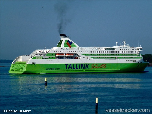
Vessel JAMES JOYCE IMO: 9364722, MMSI: 209170000 Ro-Ro/Passenger Ship
UTC, 53.38050, -5.68233, course: 88, speed: 19.5
UTC, 53.35250, -4.79400, course: 104, speed: 19.6
2026-02-25 17:37:26 UTC, 53.31933, -4.61983, course: 30, speed: 0.1
Live AIS position:
UTC. Near Holyhead),
updated 2026-02-25 17:37:26 UTC.
Find the position of the vessel JAMES JOYCE on the map. The latter are known coordinates and path.
marine traffic ship tracker show on live map
The current position of vessel JAMES JOYCE is 53.31933 lat / -4.61983 lng. Updated: 2026-02-25 17:37:26 UTCCurrently sailing under the flag of Cyprus
Details:
Last coordinates of the vessel:
UTC, 53.34617, -6.19817, course: 2, speed: 0.1UTC, 53.38050, -5.68233, course: 88, speed: 19.5
UTC, 53.35250, -4.79400, course: 104, speed: 19.6
2026-02-25 17:37:26 UTC, 53.31933, -4.61983, course: 30, speed: 0.1