 vesseltracker.com
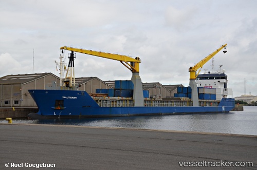
Vessel ATALAYA TMA IMO: 9369291, MMSI: 224584000 General Cargo Ship
UTC, 43.56549, -5.69525, course: 329, speed: 0
UTC, 43.56551, -5.69530, course: 330, speed: 0
2026-02-26 16:13:04 UTC, 43.56551, -5.69529, course: 330, speed: 0
Live AIS position:
UTC. Near Musel-Arnao),
updated 2026-02-26 16:13:04 UTC.
Find the position of the vessel ATALAYA TMA on the map. The latter are known coordinates and path.
marine traffic ship tracker show on live map
The current position of vessel ATALAYA TMA is 43.56551 lat / -5.69529 lng. Updated: 2026-02-26 16:13:04 UTCCurrently sailing under the flag of Spain
ATALAYA TMA built in 2008 year
Deadweight:
7218 tDetails:
Last coordinates of the vessel:
UTC, 43.56552, -5.69531, course: 329, speed: 0UTC, 43.56549, -5.69525, course: 329, speed: 0
UTC, 43.56551, -5.69530, course: 330, speed: 0
2026-02-26 16:13:04 UTC, 43.56551, -5.69529, course: 330, speed: 0