 vesseltracker.com
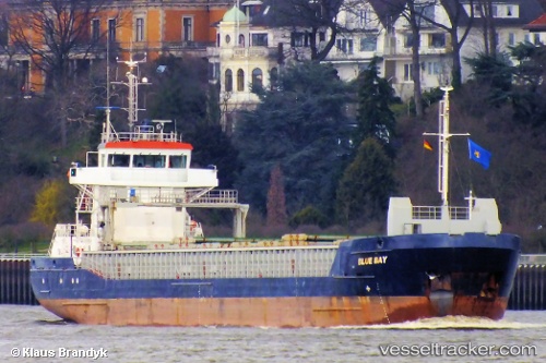
Vessel LUCA B IMO: 9370276, MMSI: 210071000 General Cargo Ship
UTC, 51.45446, 0.32625, course: 148, speed: 0
UTC, 51.45448, 0.32627, course: 148, speed: 0
2026-03-01 01:41:24 UTC, 51.45447, 0.32627, course: 148, speed: 0.1
Live AIS position:
UTC. Near NORTHFLEET),
updated 2026-03-01 01:41:24 UTC.
Find the position of the vessel LUCA B on the map. The latter are known coordinates and path.
marine traffic ship tracker show on live map
The current position of vessel LUCA B is 51.45447 lat / 0.32627 lng. Updated: 2026-03-01 01:41:24 UTCCurrently sailing under the flag of Cyprus
LUCA B built in 2006 year
Deadweight:
3843 tDetails:
Last coordinates of the vessel:
UTC, 51.45448, 0.32630, course: 149, speed: 0UTC, 51.45446, 0.32625, course: 148, speed: 0
UTC, 51.45448, 0.32627, course: 148, speed: 0
2026-03-01 01:41:24 UTC, 51.45447, 0.32627, course: 148, speed: 0.1