 vesseltracker.com
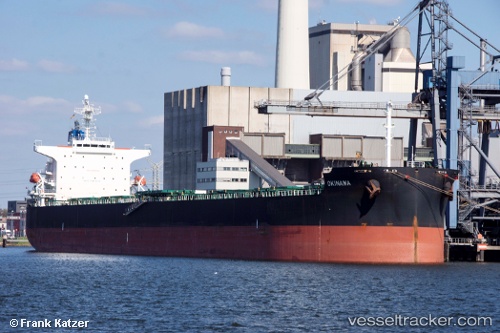
Vessel Okinawa IMO: 9376361, MMSI: 636013349 Bulk Carrier
UTC, -24.18784, -46.30776, course: 227, speed: 0.2
UTC, -24.18698, -46.30870, course: 198, speed: 0
2026-02-18 13:36:20 UTC, -24.18689, -46.30901, course: 193, speed: 0
Live AIS position:
UTC. 12 nm S of Guarujá),
updated 2026-02-18 13:36:20 UTC.
Find the position of the vessel Okinawa on the map. The latter are known coordinates and path.
marine traffic ship tracker show on live map
The current position of vessel Okinawa is -24.18689 lat / -46.30901 lng. Updated: 2026-02-18 13:36:20 UTCCurrently sailing under the flag of Liberia
Okinawa built in 2009 year
Deadweight:
81397 tDetails:
Last coordinates of the vessel:
UTC, -24.18833, -46.30667, course: -1, speed: 0UTC, -24.18784, -46.30776, course: 227, speed: 0.2
UTC, -24.18698, -46.30870, course: 198, speed: 0
2026-02-18 13:36:20 UTC, -24.18689, -46.30901, course: 193, speed: 0