 vesseltracker.com
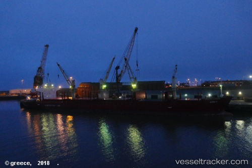
Vessel ESRA C IMO: 9379662, MMSI: 636022919 Bulk Carrier
UTC, 36.22487, -7.30360, course: 59, speed: 12.3
UTC, 36.10192, -6.82778, course: 116, speed: 12.5
2026-02-23 20:01:57 UTC, 35.89293, -6.22542, course: 99, speed: 12.4
Live AIS position:
UTC. 16 nm SE of Gibraltar),
updated 2026-02-23 20:01:57 UTC.
Find the position of the vessel ESRA C on the map. The latter are known coordinates and path.
marine traffic ship tracker show on live map
The current position of vessel ESRA C is 35.89293 lat / -6.22542 lng. Updated: 2026-02-23 20:01:57 UTCCurrently sailing under the flag of Liberia
Details:
Last coordinates of the vessel:
UTC, 36.05520, -7.48997, course: 39, speed: 12.6UTC, 36.22487, -7.30360, course: 59, speed: 12.3
UTC, 36.10192, -6.82778, course: 116, speed: 12.5
2026-02-23 20:01:57 UTC, 35.89293, -6.22542, course: 99, speed: 12.4