 vesseltracker.com
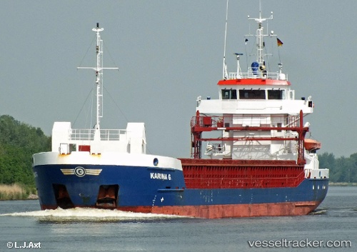
Vessel CELTIC EXPLORER IMO: 9380726, MMSI: 304905000 General Cargo Ship
UTC, 45.02833, -8.85833, course: -1, speed: 5
UTC, 44.90667, -8.93833, course: -1, speed: 5
2026-02-05 21:44:43 UTC, 44.71667, -9.08833, course: -1, speed: 5
Live AIS position:
UTC. 76 nm N of Villanueva de Lorenzana),
updated 2026-02-05 21:44:43 UTC.
Find the position of the vessel CELTIC EXPLORER on the map. The latter are known coordinates and path.
marine traffic ship tracker show on live map
The current position of vessel CELTIC EXPLORER is 44.71667 lat / -9.08833 lng. Updated: 2026-02-05 21:44:43 UTCCurrently sailing under the flag of Antigua and Barbuda
CELTIC EXPLORER built in 2007 year
Deadweight:
3875 tDetails:
Last coordinates of the vessel:
UTC, 45.16333, -8.74500, course: -1, speed: 5UTC, 45.02833, -8.85833, course: -1, speed: 5
UTC, 44.90667, -8.93833, course: -1, speed: 5
2026-02-05 21:44:43 UTC, 44.71667, -9.08833, course: -1, speed: 5