 vesseltracker.com
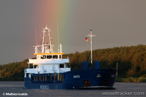
Vessel WILSON DUNMORE IMO: 9383924, MMSI: 314634000 General Cargo Ship
UTC, 52.57046, 3.42446, course: 217, speed: 8.8
UTC, 52.20690, 2.98582, course: 217, speed: 9.6
2026-02-14 16:27:53 UTC, 51.94769, 2.62770, course: 222, speed: 11
Live AIS position:
UTC. 22 nm NW of Thorntonbank),
updated 2026-02-14 16:27:53 UTC.
Find the position of the vessel WILSON DUNMORE on the map. The latter are known coordinates and path.
marine traffic ship tracker show on live map
The current position of vessel WILSON DUNMORE is 51.94769 lat / 2.62770 lng. Updated: 2026-02-14 16:27:53 UTCCurrently sailing under the flag of Barbados
WILSON DUNMORE built in 2007 year
Deadweight:
3666 tDetails:
Last coordinates of the vessel:
UTC, 52.57046, 3.42446, course: 217, speed: 8.8UTC, 52.57046, 3.42446, course: 217, speed: 8.8
UTC, 52.20690, 2.98582, course: 217, speed: 9.6
2026-02-14 16:27:53 UTC, 51.94769, 2.62770, course: 222, speed: 11