 vesseltracker.com
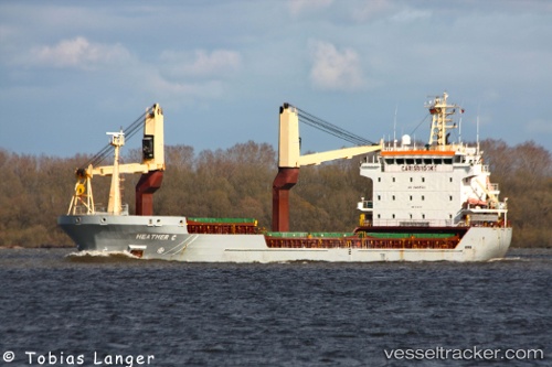
Vessel EKMEN SKY IMO: 9384174, MMSI: 636025021 General Cargo
UTC, 31.32785, 30.08244, course: 228, speed: 0
UTC, 31.32786, 30.08245, course: 227, speed: 0.1
2026-02-26 16:03:09 UTC, 31.32785, 30.08246, course: 228, speed: 0.1
Live AIS position:
UTC. Near ABU QIR),
updated 2026-02-26 16:03:09 UTC.
Find the position of the vessel EKMEN SKY on the map. The latter are known coordinates and path.
marine traffic ship tracker show on live map
The current position of vessel EKMEN SKY is 31.32785 lat / 30.08246 lng. Updated: 2026-02-26 16:03:09 UTCCurrently sailing under the flag of Liberia
Details:
Last coordinates of the vessel:
UTC, 31.32786, 30.08247, course: 228, speed: 0UTC, 31.32785, 30.08244, course: 228, speed: 0
UTC, 31.32786, 30.08245, course: 227, speed: 0.1
2026-02-26 16:03:09 UTC, 31.32785, 30.08246, course: 228, speed: 0.1