 vesseltracker.com
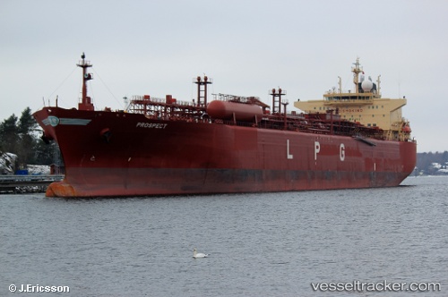
Vessel GALVIN IMO: 9387762, MMSI: 352002602 Lpg Tanker
UTC, 23.61906, 60.09197, course: 299, speed: 9.3
UTC, 23.71500, 59.87333, course: -1, speed: 9
2026-02-27 07:47:27 UTC, 23.85500, 59.61167, course: -1, speed: 8
Live AIS position:
UTC. 51 nm NE of Qurayyat),
updated 2026-02-27 07:47:27 UTC.
Find the position of the vessel GALVIN on the map. The latter are known coordinates and path.
marine traffic ship tracker show on live map
The current position of vessel GALVIN is 23.85500 lat / 59.61167 lng. Updated: 2026-02-27 07:47:27 UTCCurrently sailing under the flag of Panama
Details:
Last coordinates of the vessel:
UTC, 23.44533, 60.40212, course: 303, speed: 9.7UTC, 23.61906, 60.09197, course: 299, speed: 9.3
UTC, 23.71500, 59.87333, course: -1, speed: 9
2026-02-27 07:47:27 UTC, 23.85500, 59.61167, course: -1, speed: 8