 vesseltracker.com
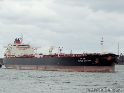
Vessel Mt Semeru IMO: 9388376, MMSI: 248417000 Crude Oil Tanker
UTC, 12.02667, 61.50167, course: -1, speed: 13
UTC, 12.26167, 60.93667, course: -1, speed: 13
2026-02-05 07:47:43 UTC, 12.39833, 60.57833, course: -1, speed: 13
Live AIS position:
UTC. 386 nm E of Suqutrá),
updated 2026-02-05 07:47:43 UTC.
Find the position of the vessel Mt Semeru on the map. The latter are known coordinates and path.
marine traffic ship tracker show on live map
The current position of vessel Mt Semeru is 12.39833 lat / 60.57833 lng. Updated: 2026-02-05 07:47:43 UTCCurrently sailing under the flag of Malta
Mt Semeru built in 2008 year
Deadweight:
105746 tDetails:
Last coordinates of the vessel:
UTC, 11.87333, 61.85409, course: 296, speed: 13.1UTC, 12.02667, 61.50167, course: -1, speed: 13
UTC, 12.26167, 60.93667, course: -1, speed: 13
2026-02-05 07:47:43 UTC, 12.39833, 60.57833, course: -1, speed: 13