 vesseltracker.com
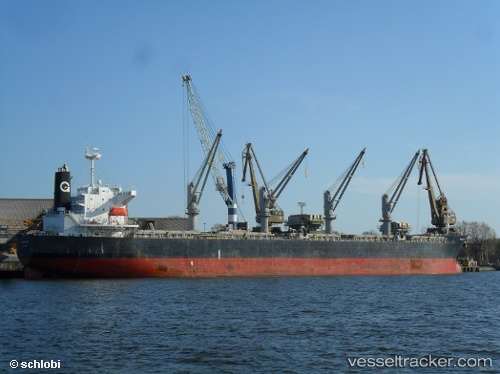
Vessel Anasa IMO: 9389215, MMSI: 210895000 Bulk Carrier
UTC, 15.77707, 68.61642, course: 314, speed: 12.8
UTC, 16.12312, 68.22525, course: -1, speed: 12.3
2026-02-26 14:42:27 UTC, 16.30335, 67.98887, course: -1, speed: 12.8
Live AIS position:
UTC. 307 nm SW of Veraval),
updated 2026-02-26 14:42:27 UTC.
Find the position of the vessel Anasa on the map. The latter are known coordinates and path.
marine traffic ship tracker show on live map
The current position of vessel Anasa is 16.30335 lat / 67.98887 lng. Updated: 2026-02-26 14:42:27 UTCCurrently sailing under the flag of Cyprus
Anasa built in 2008 year
Deadweight:
55679 tDetails:
Last coordinates of the vessel:
UTC, 15.63760, 68.77312, course: 310, speed: 12.8UTC, 15.77707, 68.61642, course: 314, speed: 12.8
UTC, 16.12312, 68.22525, course: -1, speed: 12.3
2026-02-26 14:42:27 UTC, 16.30335, 67.98887, course: -1, speed: 12.8