 vesseltracker.com
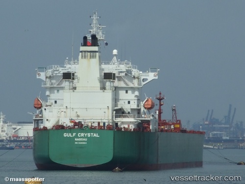
Vessel SHAHRAZAD IMO: 9389863, MMSI: 636023086 Crude Oil Tanker
UTC, 25.15475, 56.46385, course: 12, speed: 0
UTC, 25.15497, 56.46353, course: 27, speed: 0
2026-02-16 19:20:36 UTC, 25.15547, 56.46298, course: 52, speed: 0
Live AIS position:
UTC. Near Fujairah),
updated 2026-02-16 19:20:36 UTC.
Find the position of the vessel SHAHRAZAD on the map. The latter are known coordinates and path.
marine traffic ship tracker show on live map
The current position of vessel SHAHRAZAD is 25.15547 lat / 56.46298 lng. Updated: 2026-02-16 19:20:36 UTCCurrently sailing under the flag of Liberia
SHAHRAZAD built in 2009 year
Deadweight:
74999 tDetails:
Last coordinates of the vessel:
UTC, 25.15460, 56.46387, course: 13, speed: 0UTC, 25.15475, 56.46385, course: 12, speed: 0
UTC, 25.15497, 56.46353, course: 27, speed: 0
2026-02-16 19:20:36 UTC, 25.15547, 56.46298, course: 52, speed: 0