 vesseltracker.com
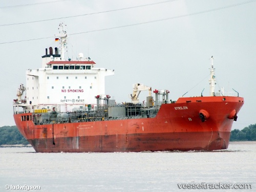
Vessel CHEM DIDI IMO: 9391139, MMSI: 271053799 Oil/Chemical Tanker
UTC, 42.12951, 35.09800, course: 113, speed: 13.5
UTC, 42.12951, 35.09800, course: 113, speed: 13.5
2026-03-04 07:06:42 UTC, 42.12951, 35.09800, course: 113, speed: 13.5
Live Vessel CHEM DIDI Analytics (details, animations, etc.)
Live AIS position: UTC. Near Sinop), updated 2026-03-04 07:06:42 UTC.Find the position of the vessel CHEM DIDI on the map. The latter are known coordinates and path.
marine traffic ship tracker show on live map
The current position of vessel CHEM DIDI is 42.12951 lat / 35.09800 lng. Updated: 2026-03-04 07:06:42 UTCCurrently sailing under the flag of Turkey
Details:
Last coordinates of the vessel:
UTC, 42.17271, 34.89412, course: 83, speed: 13.7UTC, 42.12951, 35.09800, course: 113, speed: 13.5
UTC, 42.12951, 35.09800, course: 113, speed: 13.5
2026-03-04 07:06:42 UTC, 42.12951, 35.09800, course: 113, speed: 13.5