 vesseltracker.com
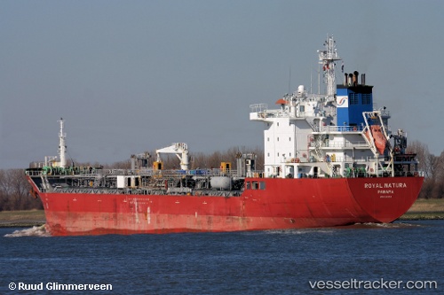
Vessel Vale IMO: 9391153, MMSI: 636017874 Chemical Oil Products Tanker
UTC, 18.30728, -87.12074, course: 226, speed: 13.6
UTC, 17.97242, -87.52238, course: 228, speed: 13.3
2026-02-26 09:18:13 UTC, 17.75224, -87.80527, course: 221, speed: 13.2
Live AIS position:
UTC. 13 nm E of Caye Chapel),
updated 2026-02-26 09:18:13 UTC.
Find the position of the vessel Vale on the map. The latter are known coordinates and path.
marine traffic ship tracker show on live map
The current position of vessel Vale is 17.75224 lat / -87.80527 lng. Updated: 2026-02-26 09:18:13 UTCDetails:
Last coordinates of the vessel:
UTC, 18.76401, -86.84810, course: 190, speed: 13.3UTC, 18.30728, -87.12074, course: 226, speed: 13.6
UTC, 17.97242, -87.52238, course: 228, speed: 13.3
2026-02-26 09:18:13 UTC, 17.75224, -87.80527, course: 221, speed: 13.2