 vesseltracker.com
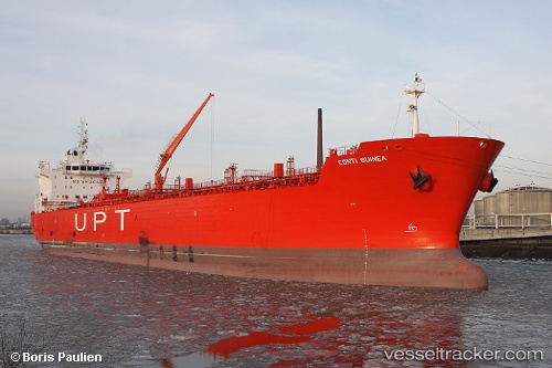
Vessel MESTRAL IMO: 9391402, MMSI: 352004840 Oil/Chemical Tanker
UTC, 42.91354, 36.10892, course: -1, speed: 8.8
UTC, 42.91354, 36.10892, course: -1, speed: 8.8
2026-02-27 14:52:01 UTC, 42.91354, 36.10892, course: -1, speed: 8.8
Live AIS position:
UTC. 69 nm NE of Sinop),
updated 2026-02-27 14:52:01 UTC.
Find the position of the vessel MESTRAL on the map. The latter are known coordinates and path.
marine traffic ship tracker show on live map
The current position of vessel MESTRAL is 42.91354 lat / 36.10892 lng. Updated: 2026-02-27 14:52:01 UTCCurrently sailing under the flag of Panama
Details:
Last coordinates of the vessel:
UTC, 42.84491, 35.91206, course: -1, speed: 9.3UTC, 42.91354, 36.10892, course: -1, speed: 8.8
UTC, 42.91354, 36.10892, course: -1, speed: 8.8
2026-02-27 14:52:01 UTC, 42.91354, 36.10892, course: -1, speed: 8.8