 vesseltracker.com
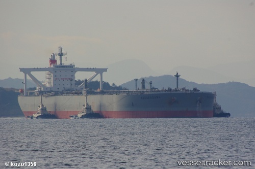
Vessel Nagaragawa IMO: 9391775, MMSI: 372324000 Crude Oil Tanker
UTC, 2.06333, 104.82667, course: -1, speed: 0
UTC, 2.06488, 104.82726, course: 7, speed: 0.1
2026-02-09 18:29:22 UTC, 2.06486, 104.82768, course: 0, speed: 0
Live AIS position:
UTC. 59 nm NE of PENGERANG),
updated 2026-02-09 18:29:22 UTC.
Find the position of the vessel Nagaragawa on the map. The latter are known coordinates and path.
marine traffic ship tracker show on live map
The current position of vessel Nagaragawa is 2.06486 lat / 104.82768 lng. Updated: 2026-02-09 18:29:22 UTCDetails:
Last coordinates of the vessel:
UTC, 2.06502, 104.82819, course: 354, speed: 0.2UTC, 2.06333, 104.82667, course: -1, speed: 0
UTC, 2.06488, 104.82726, course: 7, speed: 0.1
2026-02-09 18:29:22 UTC, 2.06486, 104.82768, course: 0, speed: 0