 vesseltracker.com
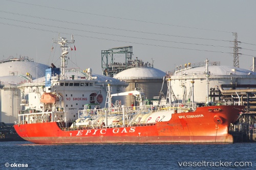
Vessel GAS ASTRID IMO: 9392030, MMSI: 538003528 LPG Tanker
UTC, -16.80500, 145.87167, course: -1, speed: 0
UTC, -16.80614, 145.87326, course: 93, speed: 0
2026-02-27 20:03:07 UTC, -16.80590, 145.87326, course: 112, speed: 0
Live AIS position:
UTC. Near Cairns Harbor),
updated 2026-02-27 20:03:07 UTC.
Find the position of the vessel GAS ASTRID on the map. The latter are known coordinates and path.
marine traffic ship tracker show on live map
The current position of vessel GAS ASTRID is -16.80590 lat / 145.87326 lng. Updated: 2026-02-27 20:03:07 UTCCurrently sailing under the flag of Marshall Islands
GAS ASTRID built in 2009 year
Deadweight:
3103 tDetails:
Last coordinates of the vessel:
UTC, -16.80574, 145.87321, course: 114, speed: 0UTC, -16.80500, 145.87167, course: -1, speed: 0
UTC, -16.80614, 145.87326, course: 93, speed: 0
2026-02-27 20:03:07 UTC, -16.80590, 145.87326, course: 112, speed: 0